
Surveys by Architects. Accurate. Reliable. Professional.
Every successful construction project relies on an accurate initial measured survey.
We provide fast, reliable 3D measured surveys, delivered with the rigour and technical expertise that only Architects can offer. Born from over 40 years of architectural experience, LA Surveys was established to eliminate the risks and inconsistencies often found in third-party surveys.
Operating across London and beyond, our specialist team delivers precise, dependable survey information, ensuring every project begins with clarity, confidence and complete accuracy.
We provide fast, reliable and efficient measured surveys

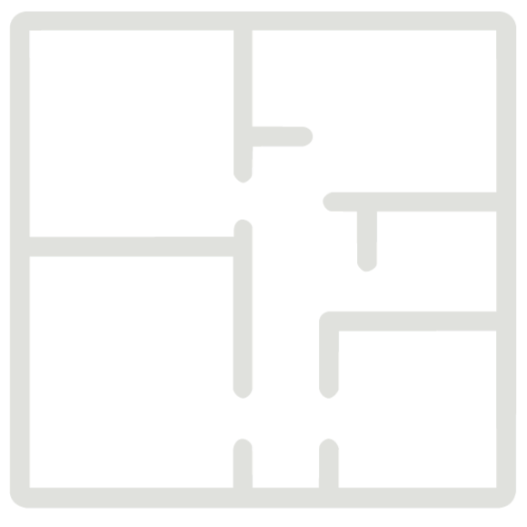
Measured Building Survey
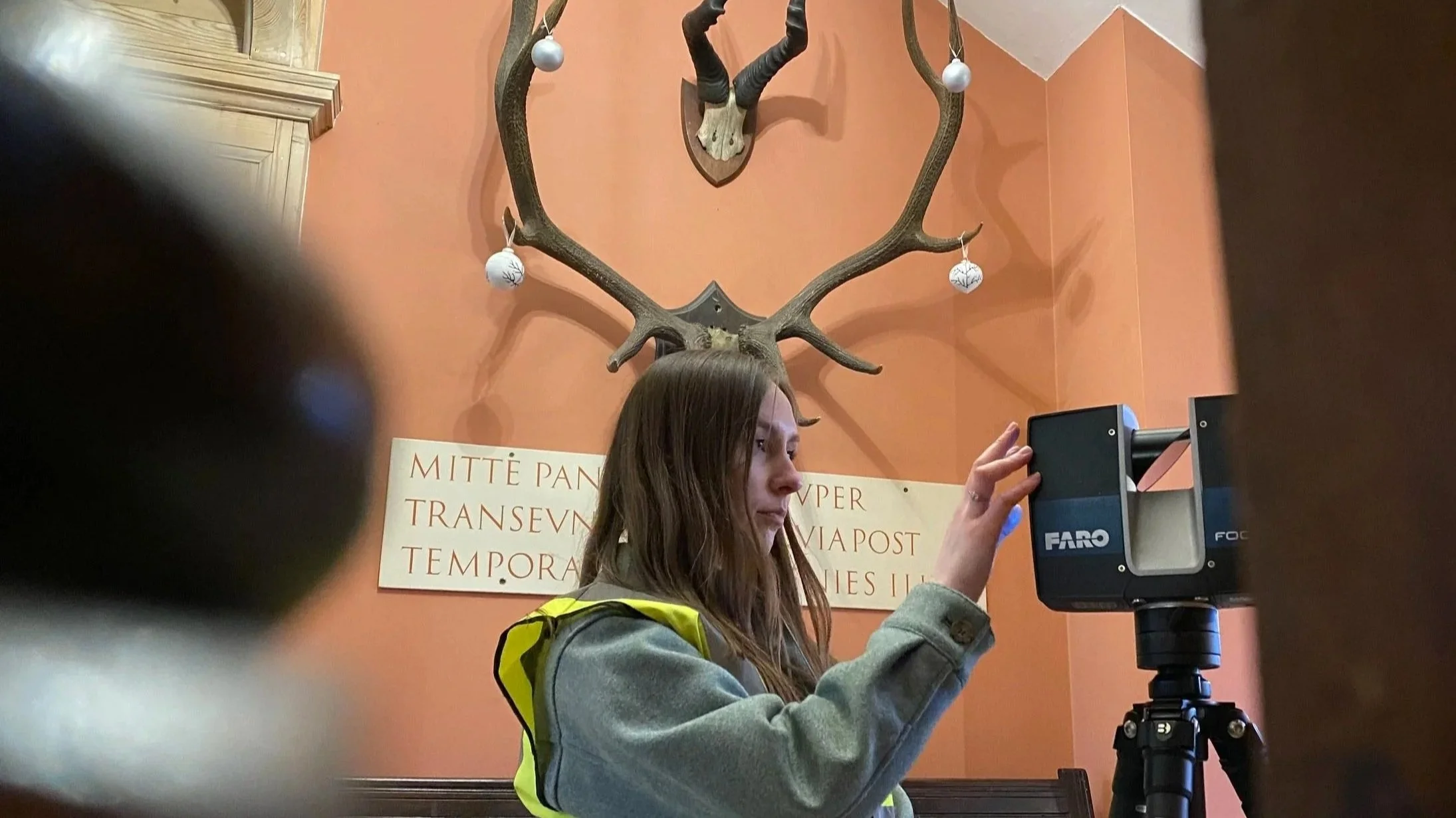
A complete laser scanned survey capturing accurate spatial data across the entire building, forming the foundation for all subsequent drawings and models.

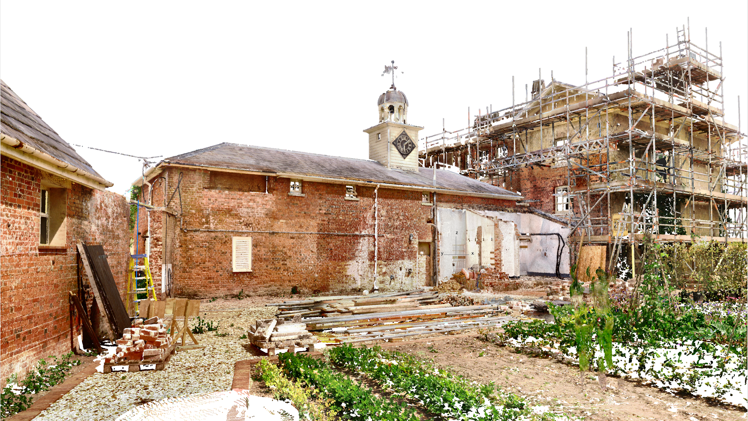
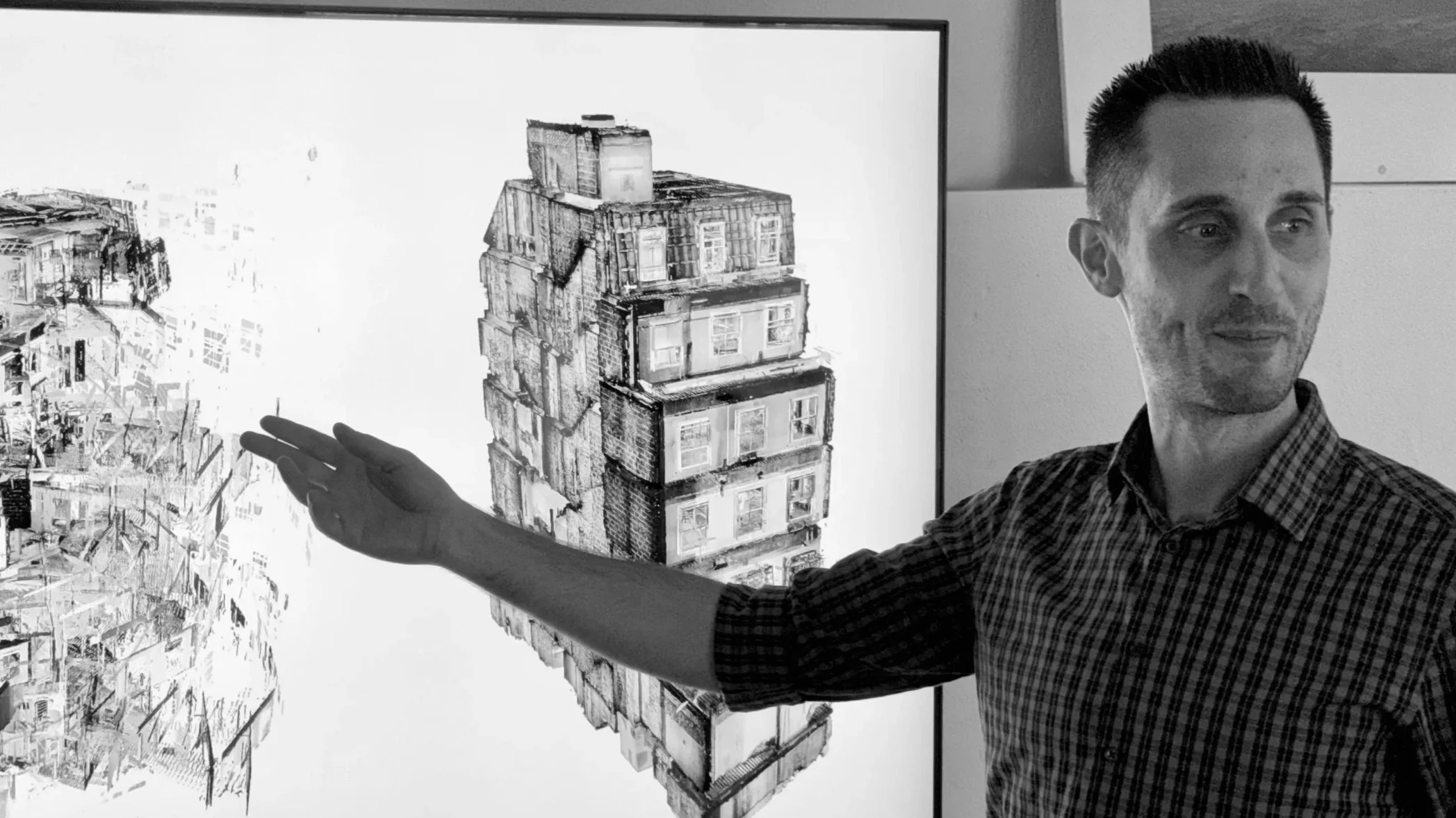
Point Cloud Data
From the point cloud data we create an interactive fly-through model. This allows teams to explore buildings remotely and understand spatial relationships before design begins.

360° Site Photography
High resolution panoramic photography captured during the survey, providing visual reference and context for designers and project teams.

Interactive 3D BIM Model
Detailed BIM models created from point cloud data, providing an accurate digital representation of the building for design and coordination.
Measured Architectural Drawings
Precise 2D plans, sections and elevations generated directly from survey data, ensuring reliable information for planning and design.

Our Bespoke Service
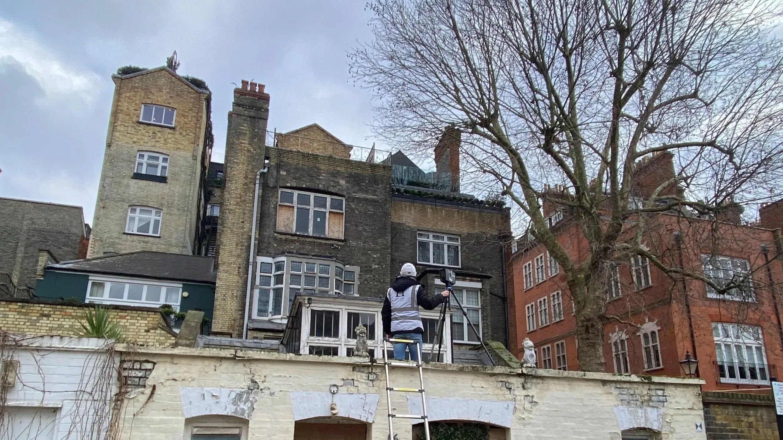
Our team of Architect-Surveyors provides a bespoke service, taking the time to understand your requirements before delivering a precise measured survey tailored to your project. Typically completed in just one day, we capture all data and photogrammetry needed to create accurate BIM models and/or 2D CAD drawings, accessible via our secure client portal.
We value precision so highly that if you appoint us as your architects, we will refund the cost of the BIM model, ensuring your choice of surveyor never becomes a costly mistake.
Using state-of-the art 3D point cloud scanning technology, we capture every detail of your building, inside and out. We use this to create a digital twin of the building with a level of precision and skill that only Architects can.
Our Work
Measured Building Surveys
Highly accurate laser scanned surveys, capturing every detail of existing buildings. Delivered as precise plans, elevations, sections and point cloud data ready for design teams.
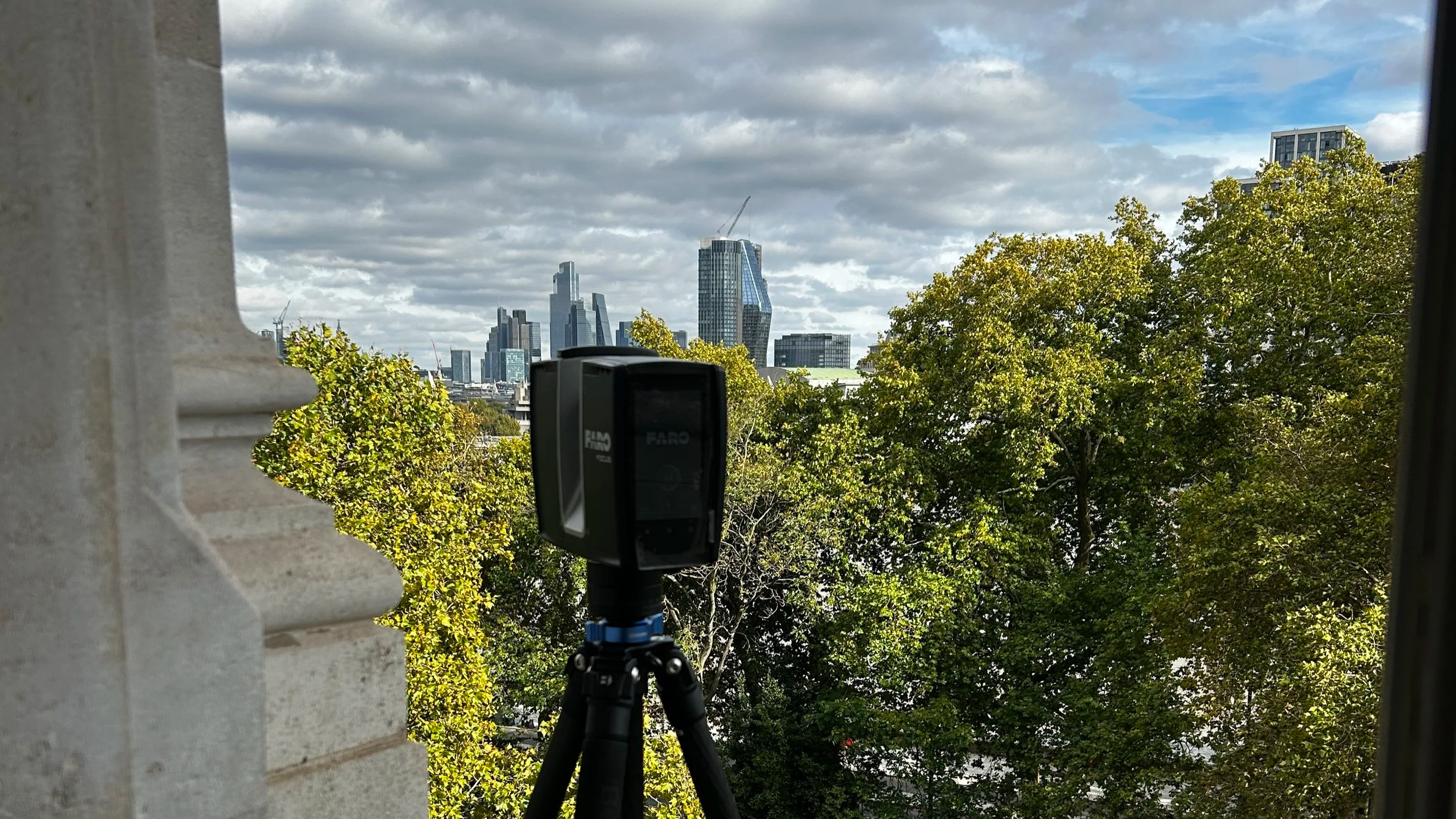
Laser Scanning & Point Cloud Data
Laser scanning captures intricate geometries and historic fabric with millimetre precision, making it ideal for listed buildings and technically complex sites.
Renovation & Extension Projects
Comprehensive surveys for remodelling, extensions and adaptive reuse projects. Accurate existing information ensures confident design decisions and fewer surprises on site.
BIM Models and Digital Deliverables
Detailed BIM models created from point-cloud data, providing a complete digital representation of your building for design, coordination and construction.
“LA Surveys provided an incredibly detailed survey for a complex listed building in Cambridge - the resulting product was commented on by the design team for both accuracy but also level of detail. This may seem like it should be a given, but sadly it is not, and it highlights the design and architectural background of the survey team to provide the right product in one hit.”
— LXA